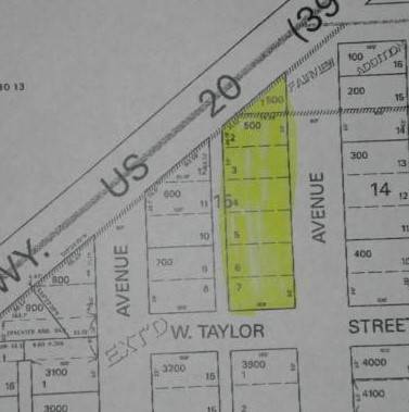
TBA S. Juntura Ave., Burns, OR 97720

9 Photos
 
$74,995
Active for Sale
0.65 Acres
 
Listing ID 11122706
Property Type Vacant Land
County Harney
Total Tax $548
Tax ID 1355
FEMA Flood Map fema.gov/portal
Virtual Tour

Commercial Land - Close to Highway

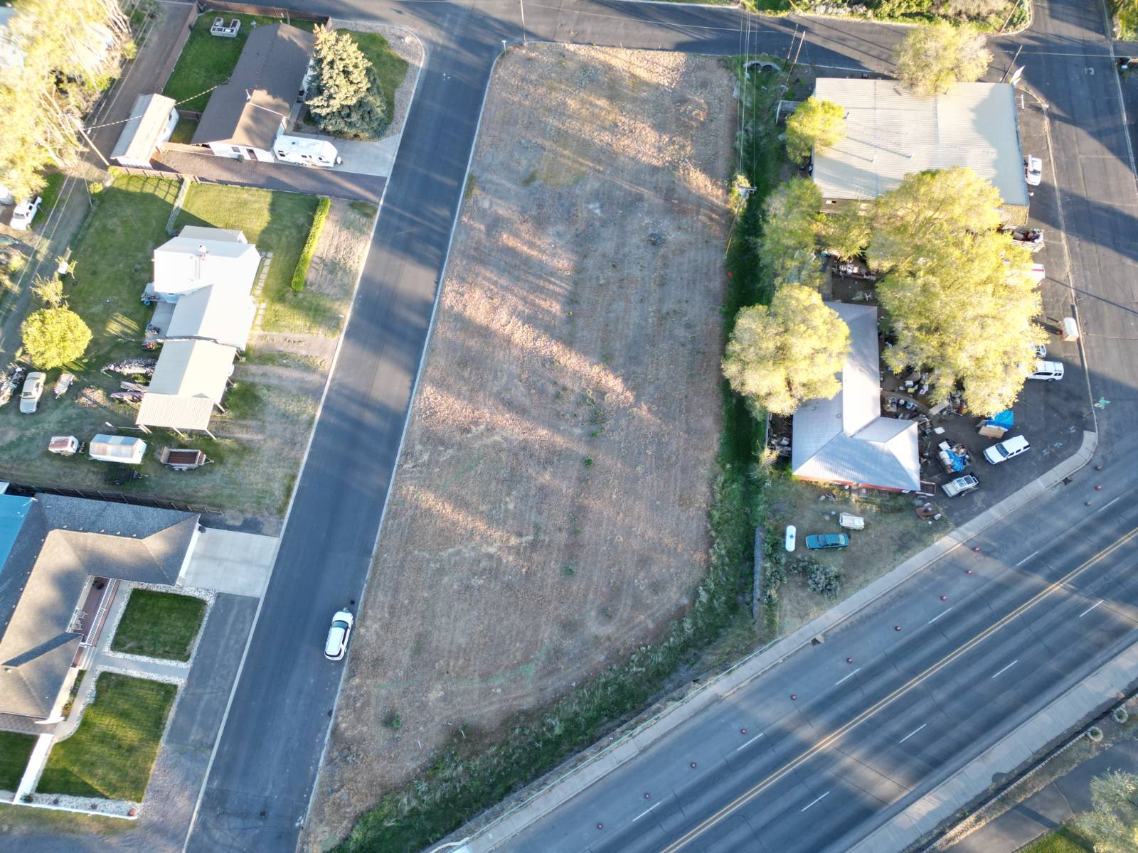
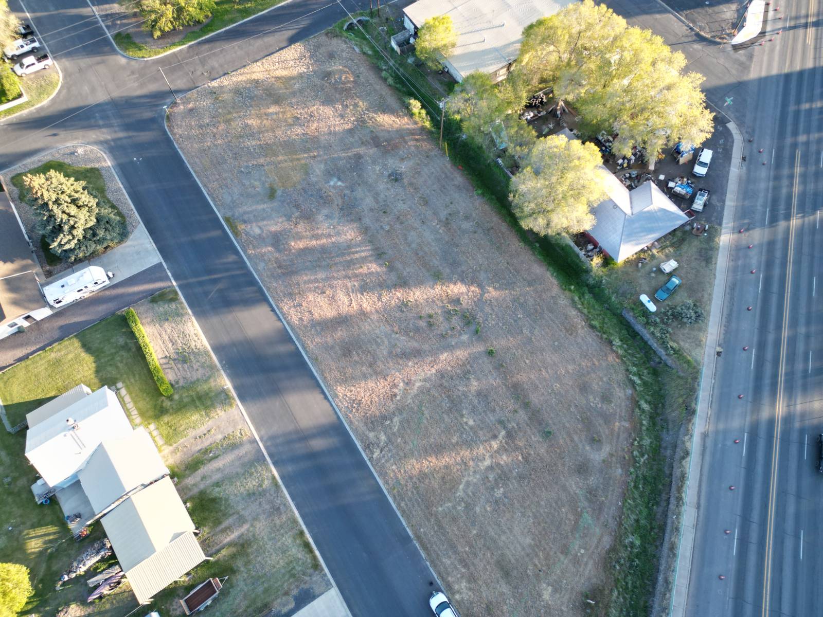
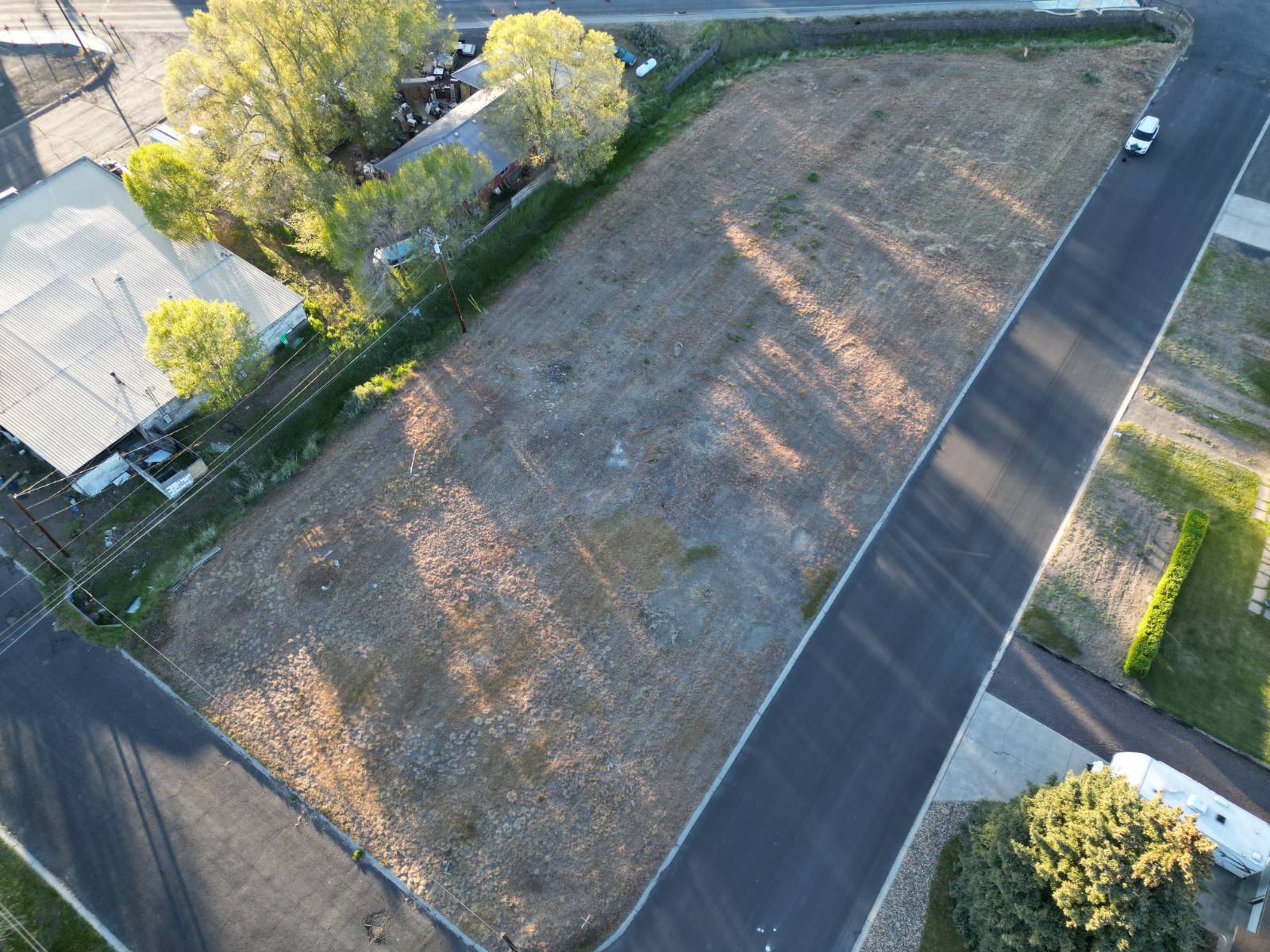
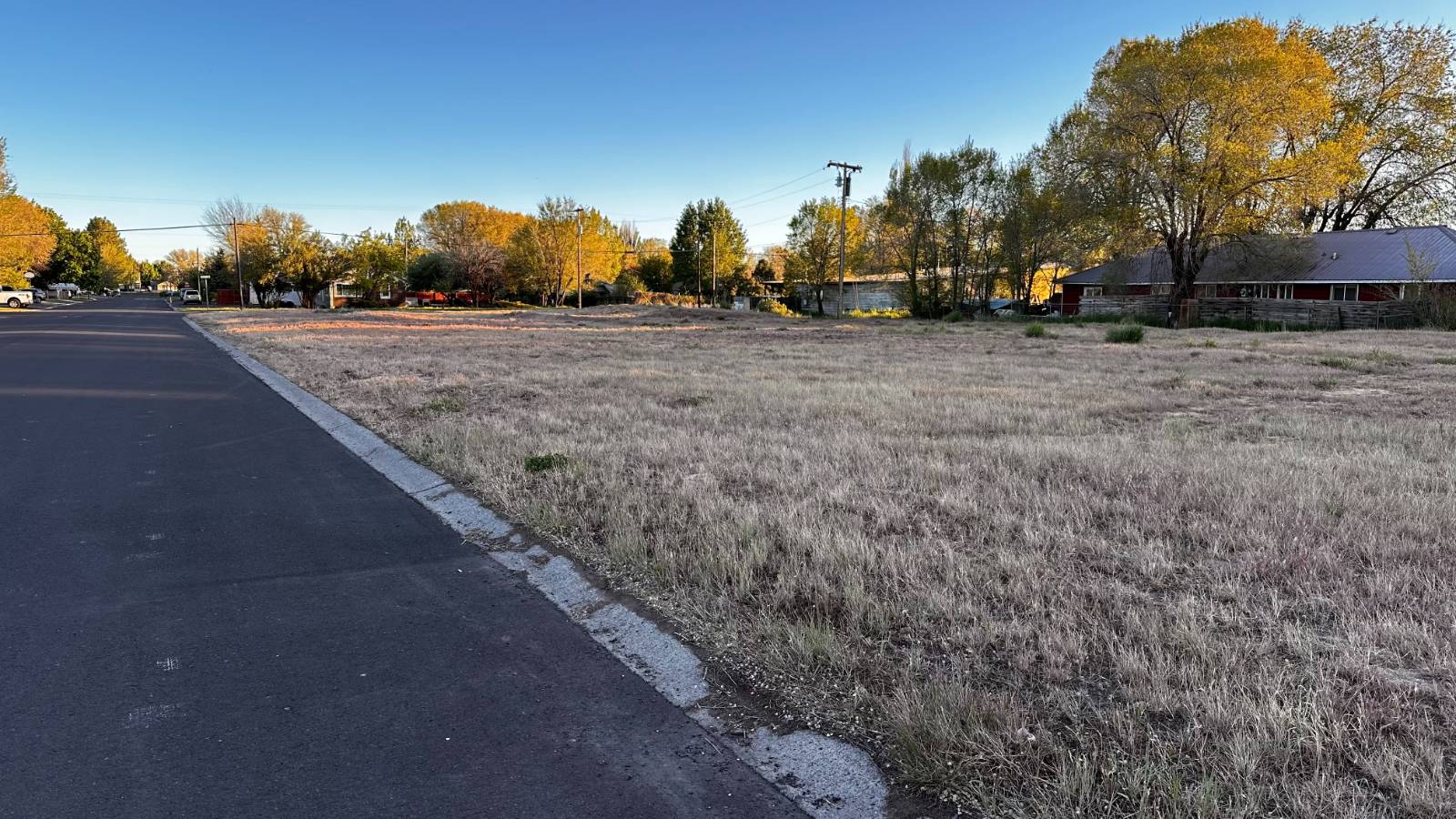
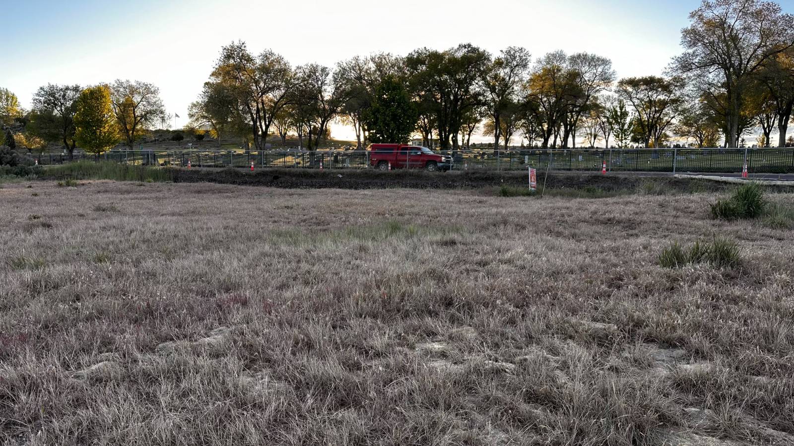
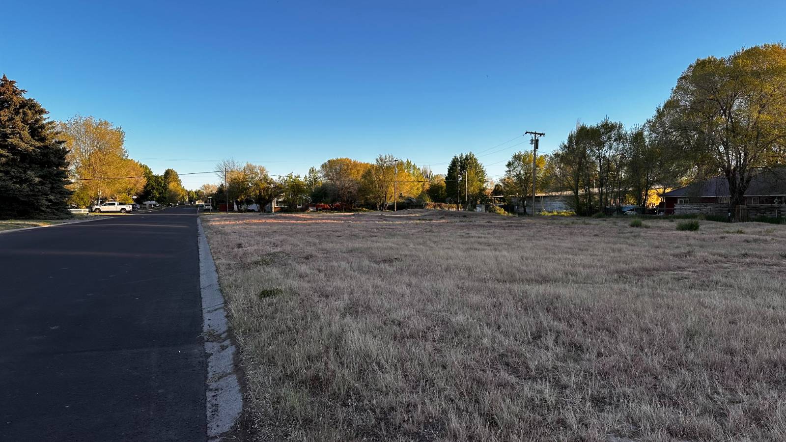
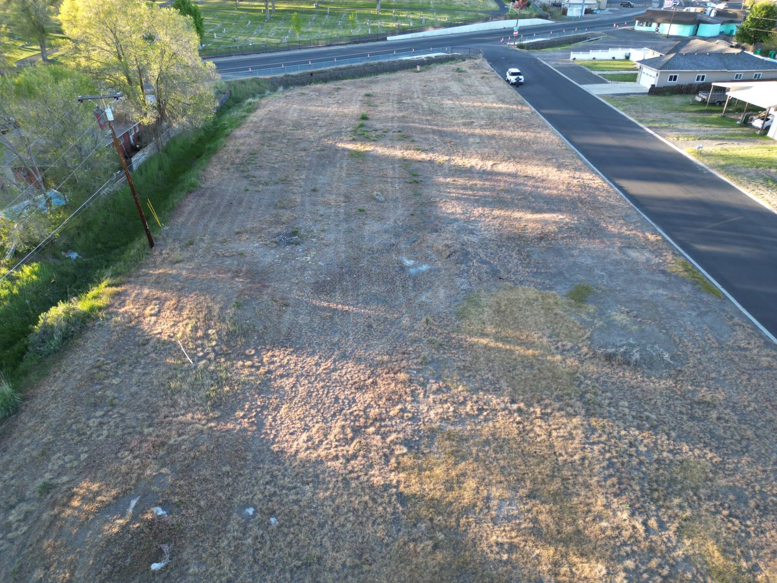
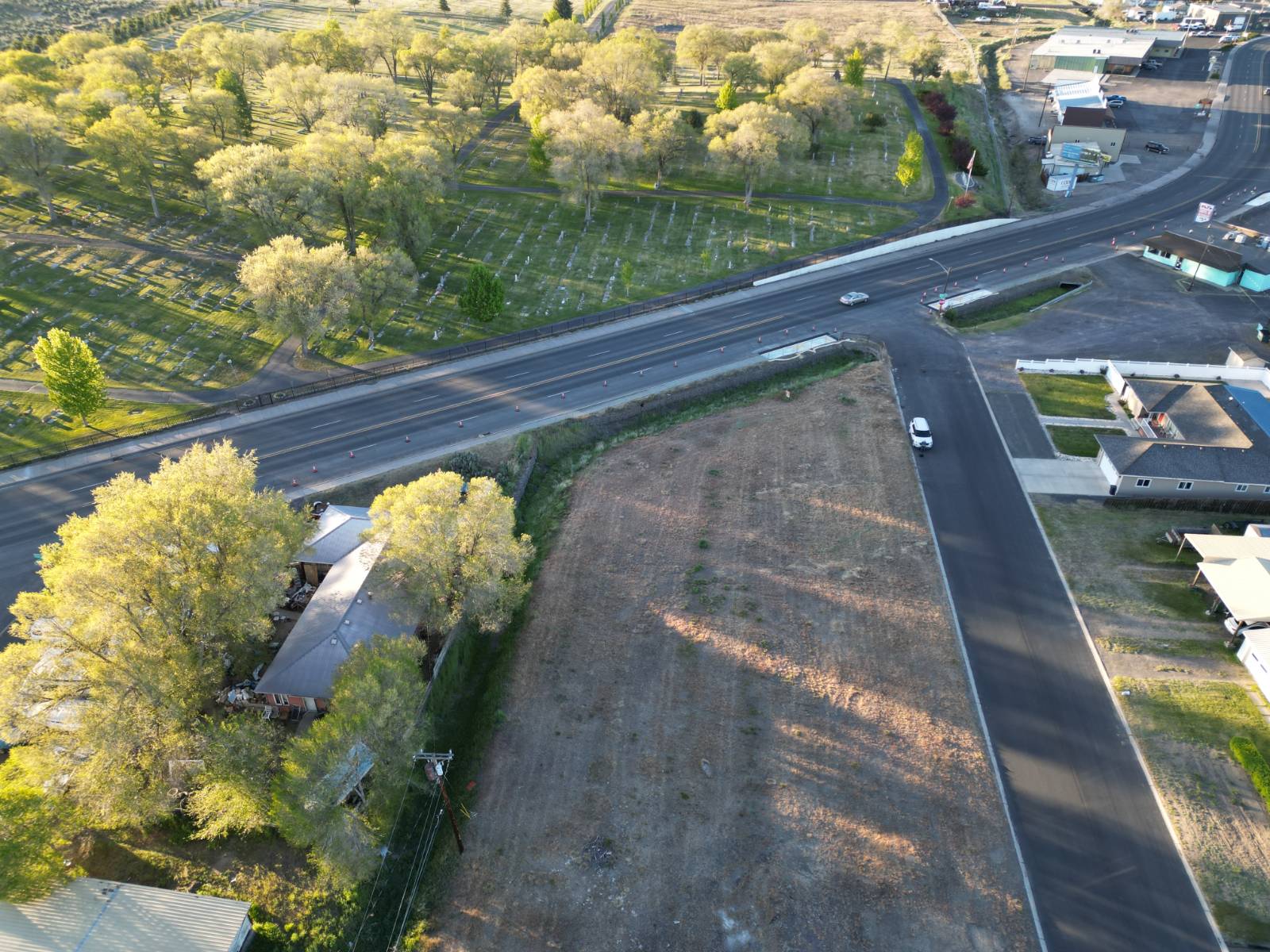
This property is one large tax lot encompassing six 50 x 100 platted lots and an extra partial corner lot. The land sits at the intersection of South Juntura Avenue and Highway 20/395 in Burns, Oregon. The land area is about 0.65 acre (+/-). It is zoned General Commercial (CG) with the City of Burns. This is a very busy traffic area and power, municipal water/sewer, and phone are all right near the property. Great access with paved streets on three sides. Easy to go and see.
Land Details
  • 0.65 Acres
Taxes and Fees
  • $548 County Tax
  • $548 Total Tax
Listed By
Paramore Real Estate
Office: 541-573-3639
Request More Information
Request Showing
Role Agent Buyer
Your Preferred Date & Time
Showing Type:
Listing data is deemed reliable but is NOT guaranteed accurate.
Contact Us
Who Would You Like to Contact Today?

I want to contact an agent about this property!

I wish to provide feedback about the website functionality

Contact Agent
Your Name:
Email:
Phone:
Message:
Security: What is 10 plus 4?